Ground-Based Navigation Satellite Integrated Sounding System for Water Vapor and Ionosphere
summary
Introduction to progressiveness
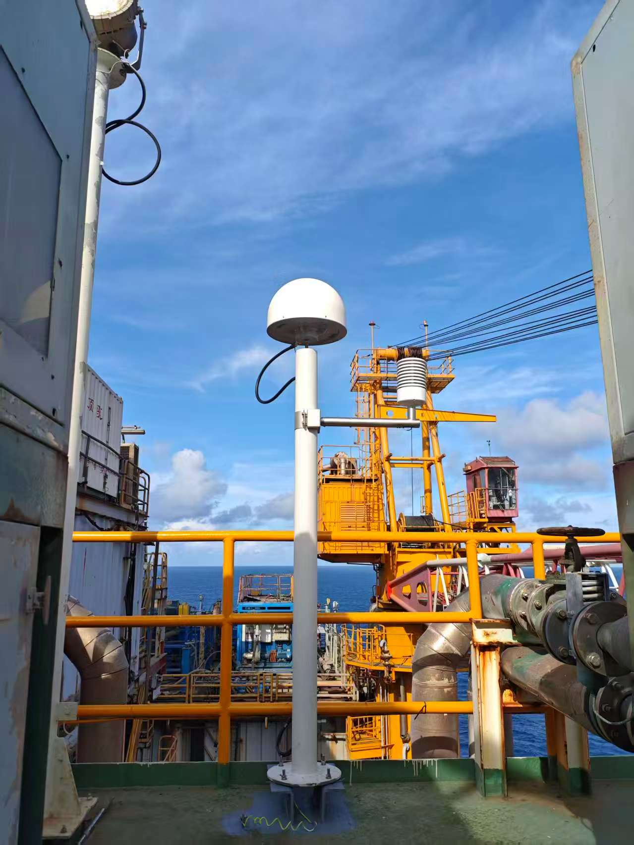
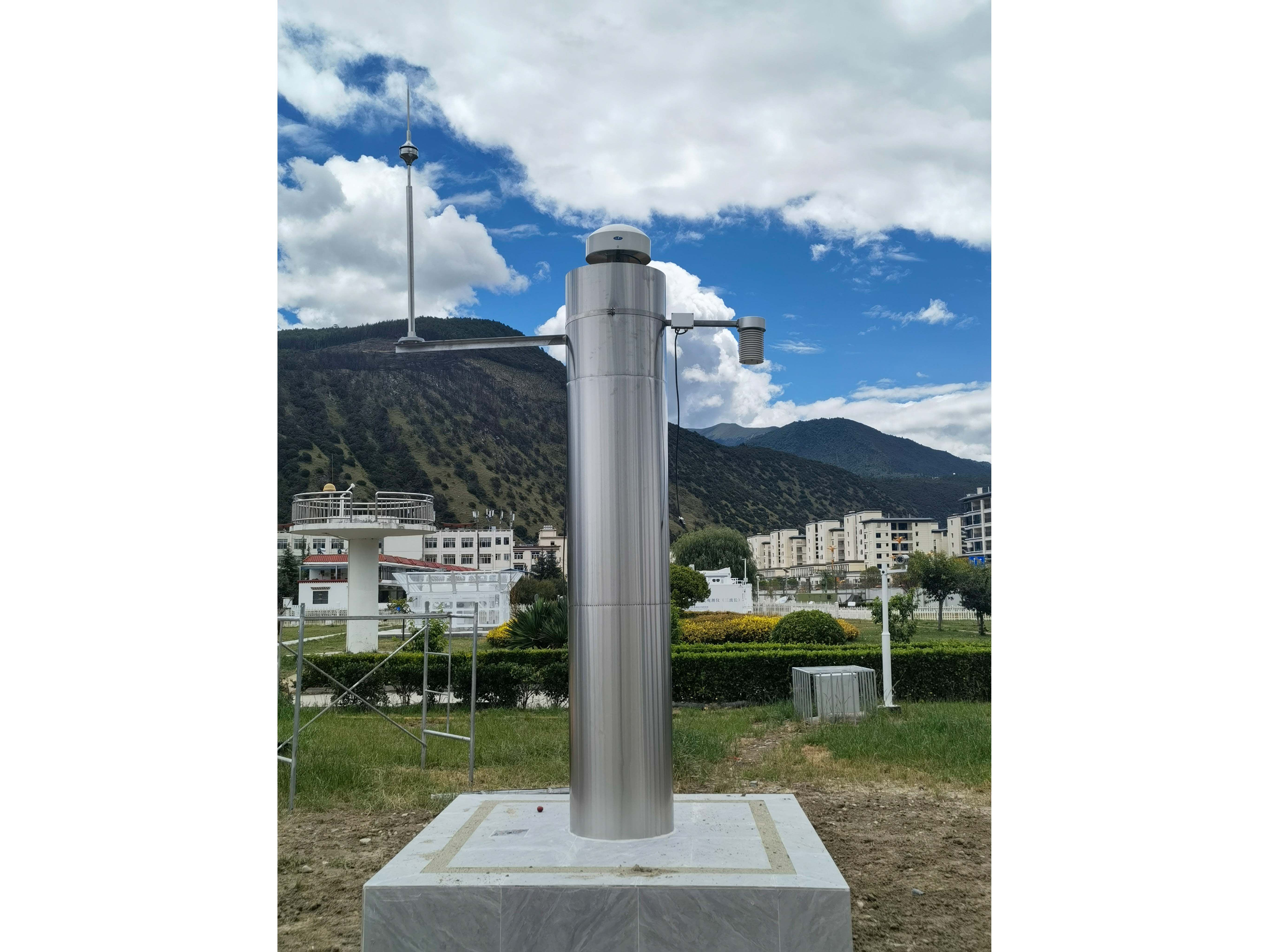
Application Cases
Technical Specifications
Introduction to progressiveness
雷达体制
采用一维数字有源相控阵、全固态、收发全数字全相参、脉冲多普勒,双偏振。
数据质量
波束偏离法向天线发射和接收波束宽度、天线增益指向一致性等影响雷达探测精度和数据质量的参数发生变化通过标定和订正,降低对数据质量影响。
扫描策略
窄发窄收、宽发窄收、单波束、多波束、分辨率脉压比等参数设置和波束复用等技术如何使用,数据格式如何优化才能发挥相控阵雷达的作用。
应用案例
天津智慧气象建设工程-大城市灾害性天气观测子系统项目中,基于S波段业务雷达数据进行大小雷达组网融合,指挥X波段相控阵雷达进行协同工作;
X波段相控阵雷达基于组网融合对天气过程的分析,在识别出天气类型后,协同使用针对性的观测模式,以更好地服务强对流的监测和预警服务。